Search
FEATURE
Map important GPS coordinates and other field data highlighting the geographic reach of your projects. Help field agents navigate remote terrain.
REQUEST A DEMO


Field staff can record GPS coordinates as part of any form using the Android’s built-in GPS, even without a mobile network signal or internet access. Use this feature for field staff to log their location in remote areas where navigation and travel can be difficult.

Field staff can record GPS coordinates as part of any form using the Android’s built-in GPS, even without a mobile network signal or internet access. Use this feature for field staff to log their location in remote areas where navigation and travel can be difficult.
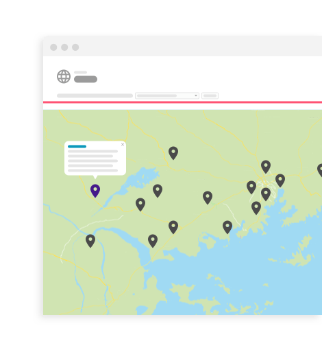
View multiple data points plotted on a geographical map in Salesforce.com, along with other relevant information. Create multiple maps that can each be customized to show records that meet certain criteria. Hover over each marker to see additional details about that record.


View multiple data points plotted on a geographical map in Salesforce.com, along with other relevant information. Create multiple maps that can each be customized to show records that meet certain criteria. Hover over each marker to see additional details about that record.

Your field agents can reference locations right from their TaroWorks mobile app and see their relative location. These portable maps let your team easily find and revisit sites in your organization’s on-going projects.

Your field agents can reference locations right from their TaroWorks mobile app and see their relative location. These portable maps let your team easily find and revisit sites in your organization’s on-going projects.
NEXT FEATURE
Sign up to receive emails with TaroWorks news, industry trends and best practices.
TaroWorks, a Grameen Foundation company.
Site by V+V